How cold did it get last night - and how long will freezing temperatures last?
Monday was the coldest day since December 2010 and overnight it was the coldest since February 2021.
Tuesday 13 December 2022 09:19, UK
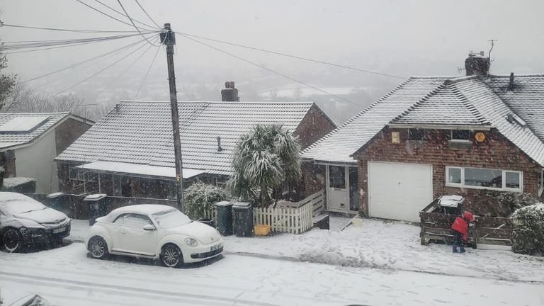
Freezing temperatures have left large parts of the country covered in snow, with millions struggling to get to work and school for a second day.
Cold air from the Arctic has seen the mercury drop to below zero in most places, with conditions only due to warm up again at the weekend.
Significant travel disruption as rail strikes combine with icy conditions - UK weather latest
Travel disruption affecting the roads, trains and flights is likely to continue throughout the week as backlogs are exacerbated by strike action.
How cold was it last night?
Monday was the coldest night of the year so far, with -15.7C (3.74F) recorded in Braemar, Aberdeenshire for the second night in a row.
This means it was the coldest night on record since 11 February 2021.


Monday was also the coldest day of the year since December 2010, with Braemar recording a maximum temperature of just 9.3C (48.7F).
The five next coldest overnight temperatures were all recorded in Scotland, including -13.1C (8.4F) at Balmoral.
In England it was coldest in Redesdale Camp, Northumberland at -11.8C (10.7F), followed by Andrewsfield in Essex at -10.7C (12.7F).
The most snow has been recorded in Andrewsfield, Essex, which got 9cm (3.5in), followed by Charlwood in Surrey with 5cm (1.9in), and Herstmonceaux in East Sussex with 4cm (1.5in).
Met Office chief meteorologist Steve Willington says that "although below average, these temperatures are not unusual for this time of year".
How long will it last?
Weather warnings for snow and ice are in place for parts of the UK until Thursday.
The UK Health Security Agency (UKHSA) has a Level 3 cold weather alert in place until Friday, which warns of temperatures of 2C (35.6F) until then.
Met Office spokesman Oli Claydon told Paste BN that large parts of England and Scotland should expect snow to remain on the ground until the weekend.
"Cold conditions will last through the week. Milder conditions will start to move in from the south at the weekend before spreading to other parts of the UK," he said.
"The snow we've seen will stay on the ground - especially in the north and on higher ground."
Read more:
Why is it so cold - even with climate change?
Five-day weather forecast for where you live
On Wednesday the Met Office says "winds will strengthen and shift to a northerly direction", which will "bring further cold air from the Arctic".
This will mean there will be dry weather outside of the north - but "still freezing cold".
On Thursday and Friday the wintry showers will be confined to the North West, with other parts of the country "cold and crisp with sunny spells".
Met Office yellow warnings for snow, ice and fog cover most of England, Scotland and Northern Ireland until 11am on Tuesday. Cardiff and eastern parts of Wales are also affected.
The Scottish Highlands, eastern Scotland and North East England will be impacted by snow until midday on Thursday, according to the warnings.
London and the South East will see some sunshine on Thursday and Friday, but it will remain around 2C or 3C.
By the weekend, temperatures of 7C and rain will likely have melted most of the snow left on the ground.